Aerial Survey & Mapping
Drone photogrammetry, LiDAR and satellite imagery for topographic models, stockpile volumes and remote-area mapping.
See the whole picture, faster.
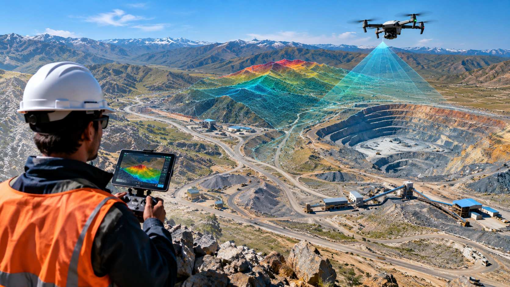
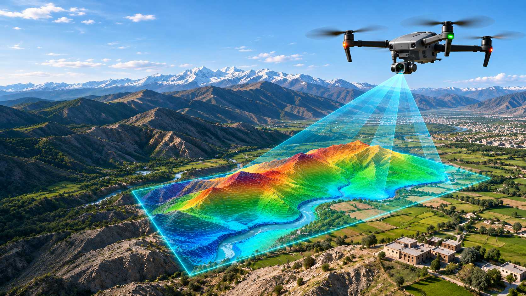
Using drones, aircraft-mounted sensors and satellite data, we capture high-resolution information over large or hard-to-reach areas in a fraction of the time of ground surveys. The result is accurate, up-to-date maps and datasets that support exploration, mine planning, environmental monitoring and site development.
Every survey is tied to ground control points for survey-grade accuracy, and repeat flights let you track pit progress, stockpiles and environmental change over time without putting crews in harm's way.
Aerial data covers more ground, safely and cost-effectively. It sharpens exploration targets, improves engineering design and provides a reliable record of site conditions over time.
What we offer
Every engagement is scoped to your project. Contract a single capability or the complete package, delivered by one accountable team.
in Aerial Survey & Mapping
- 01
Drone (UAV) photogrammetry and orthomosaic mapping
- 02
LiDAR surveys and digital elevation/terrain models (DEM/DTM)
- 03
Airborne magnetic and radiometric surveys
- 04
Multispectral and hyperspectral imaging for alteration mapping
- 05
Satellite image analysis and change detection
- 06
Stockpile volume measurement and pit progress surveys
- 07
GIS-ready deliverables compatible with industry software
Our process
-
01
Flight plan
Area, resolution and ground control design.
-
02
Acquisition
Drone or LiDAR flights with RTK positioning.
-
03
Processing
Orthomosaics, DTMs and point clouds.
-
04
Delivery
CAD/GIS models, volumes and change reports.
What you get
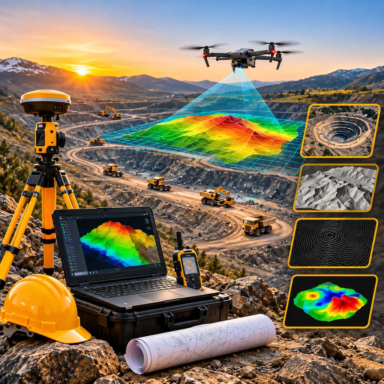
High-resolution orthophotos, DTM/DSM surfaces, contour maps and certified volume reports.
- Clearly defined scopeAgreed deliverables, timeline and budget
- Milestone sign-offsYou approve every stage before we move on
- One accountable teamA single point of contact from start to finish